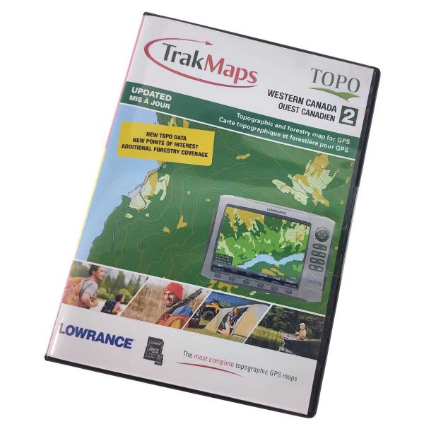
Features
| mpn | 699 |
|---|---|
| Brand | Trakmaps Canada |
| Compatible with | Lowrance GPS |
| Coverage | BC, AB, SK & MB |
| DropShip | No |
| Media | SD/MicroSD |
| Oversized | No |
| Qty/Pack | 1 |
| ShipsAlone | No |
Details
Topographic and forestry map for GPS.
Compatible with Lowrance Elite & HDS series with a microSD or SD card slot.
• Most complete coverage: British Columbia, Albeta, Saskatchewan and Manitoba.
• Province-wide topographic data including mountains, hills, valleys, lakes, rivers, forest zones and swamps. (Updated partial forestry coverage.)
• Contour lines, points of elevation and other terrain features.
• Thousands of POIs (Points of interest) including gas stations, cellular towers, camping & picnic areas, airports and more.
• Scale: 1:50,000
**This product cannot be viewed on a computer. Data cannot be transferred to the card.**