Features
| mpn | 010-11543-00 |
|---|---|
| Brand | Garmin |
| DropShip | No |
| Oversized | No |
| Qty/Pack | 1 |
| ShipsAlone | No |
DetailsBirdsEye™ Satellite Imagery - MicroSD
The following accessory features:
• Transfer an unlimited number of satellite and aerial image segments to your device with this subscription and free software BaseCamp™.
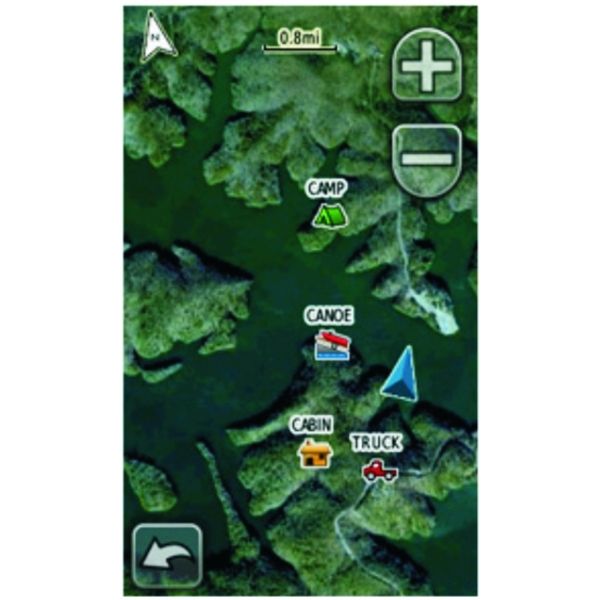
• High-resolution sub-meter color satellite imagery captures the world in brilliant clarity and detail.
• Allows you to layer the Garmin vector maps on your handheld with BirdsEye Satellite Imagery for a real-life view of roads, buildings and terrain.
• Makes it easy for hunters to perform preseason scouting, determine placement of stands and locate game pinchpoints.
• Helps hikers and campers find trails/trailheads and clearings for camping areas.
• Lets geocachers determine the terrain type around a cache and identify parking areas close to the caches.
• Allows travelers to view tourist hot spots and landmarks from an aerial view to make excursions memorable without getting lost.
Compatible devices:
• Dakota
• GPSMAP
• Oregon
• High-resolution sub-meter color satellite imagery captures the world in brilliant clarity and detail.
• Allows you to layer the Garmin vector maps on your handheld with BirdsEye Satellite Imagery for a real-life view of roads, buildings and terrain.
• Makes it easy for hunters to perform preseason scouting, determine placement of stands and locate game pinchpoints.
• Helps hikers and campers find trails/trailheads and clearings for camping areas.
• Lets geocachers determine the terrain type around a cache and identify parking areas close to the caches.
• Allows travelers to view tourist hot spots and landmarks from an aerial view to make excursions memorable without getting lost.
• GPSMAP
• Oregon
Order Chart
| Product | mpn | Oversized | Qty/Pack | Price | Add to cart |
|---|---|---|---|---|---|
 | mpn 010-11543-00 | Oversized No | Qty/Pack 1 | Price $39.95 |


